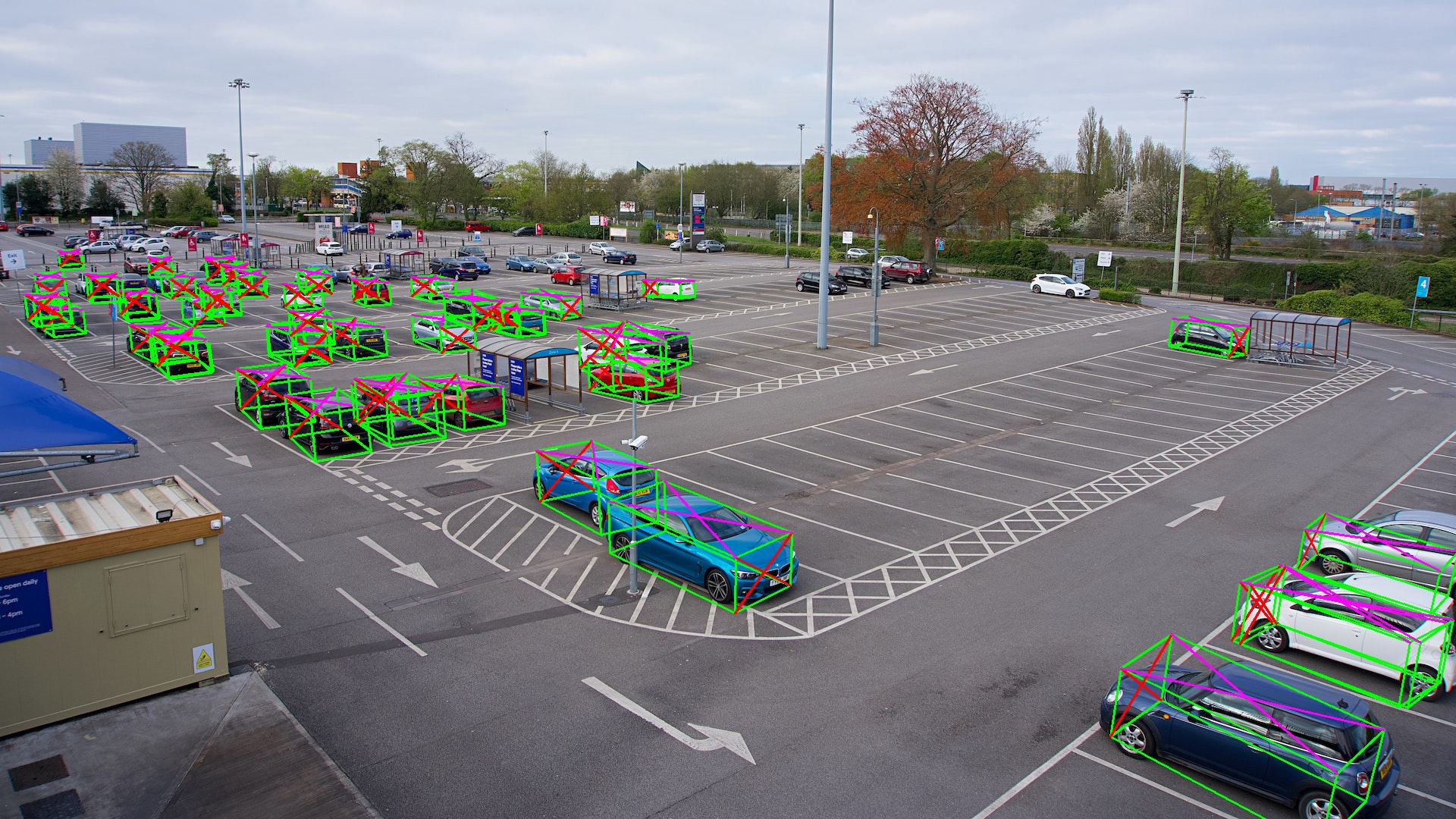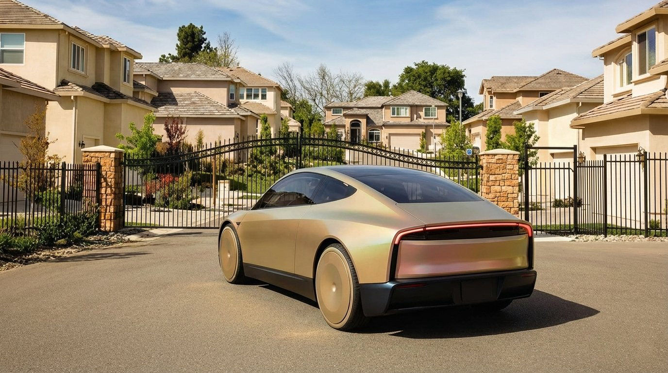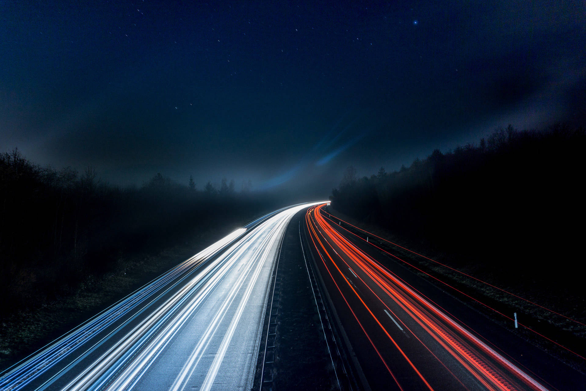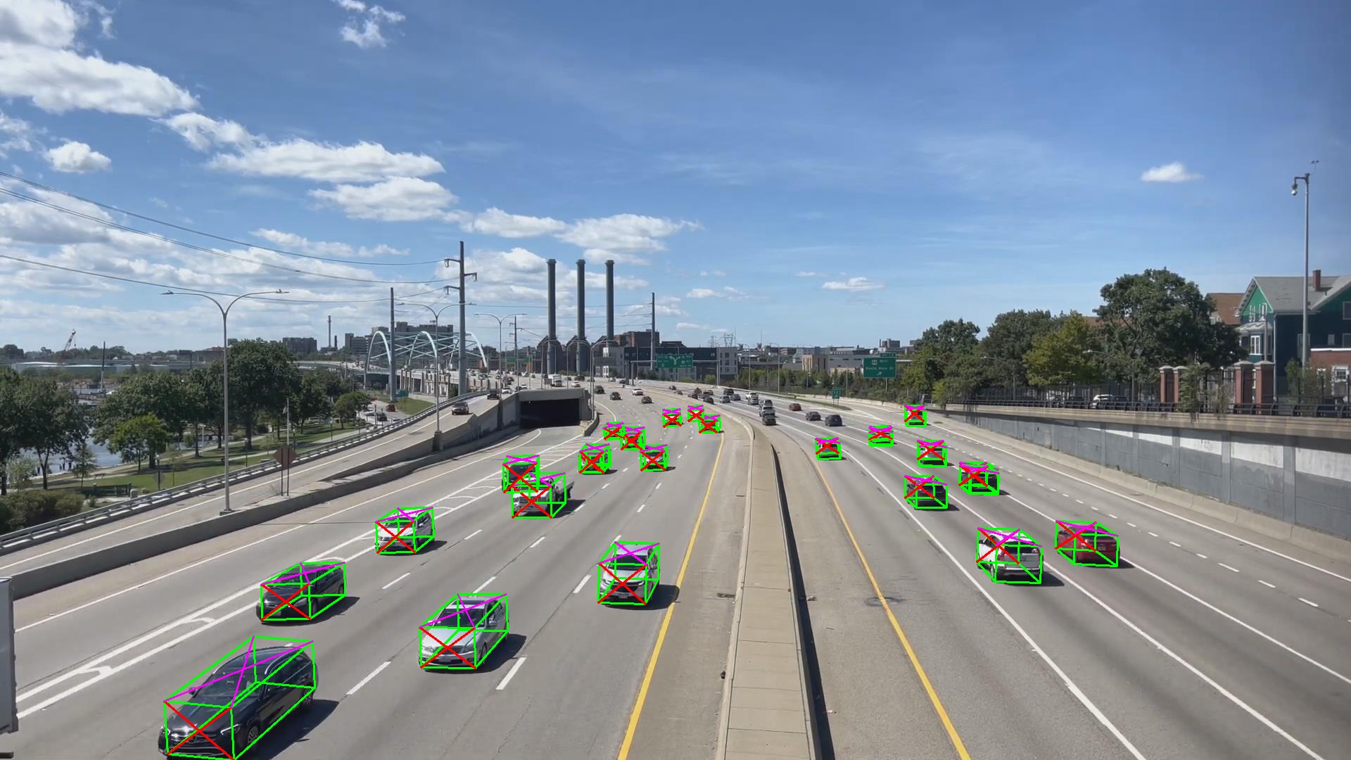
Machine Can See has developed a unique technology called Pseudo−LiDAR that can transform an ordinary camera (Monocular) into a sophisticated system for monitoring objects and their movements in real−time.
We have developed and patented a technology that allows for comprehensive 3D analysis of street and highway traffic, offering a wide range of possible applications. You can now gain data insights that were previously out of your reach and take your business or city to the next level.
Scroll down and DISCOVER how it works.
Data fusion techniques can be used to combine data from multiple cameras, each viewing the same scene from a different angle. This can help to address temporary occlusion problems and improve the accuracy of object detection and tracking. By fusing data from multiple cameras, we can obtain a more complete view of the scene and identify objects that may be occluded or partially obscured from the view of a single camera.
The software can run on the edge without the need for a remote server. The amount of data sent to the cloud is significantly decreased, resulting in 100 times less data compared to image/video streaming. By reducing the amount of required data, our technology enables more efficient and cost−effective solutions, opening the door to previously impossible projects.
Our output is vector-based, which allows us to extract only the useful information related to movement and scene understanding. This means that images can be deleted right after analysis, avoiding the storage of personal identifying information. This can be especially useful in situations where privacy is a concern, such as in public spaces or sensitive environments.
Detailed 3D vector output of a roundabout
By combining the power of computer vision and physics simulation, we've created a system that can understand, track, and predict the movement of vehicles even when they are temporary occluded with unparalleled precision, outperforming any 2D−based detection methods currently available.
Find out more about our patent →
With more accurate and detailed information about the position, orientation, and movement of vehicles, our technology has the potential to revolutionize fields such as parking, traffic monitoring and management.
The limited understanding of a car's position in space, due to the absence of 3D (depth), is a common issue faced by other players in the market.
3D
based technology
2D
based methods
LiDAR is a technology that uses lasers to create 3D maps of objects and environments. It measures the time it takes for a laser pulse to reflect back from a target and creates digital models based on the reflections.
Pseudo−LiDAR using camera−only approach refers to a technology developed by using Computer Vision and artificial intelligence, which transforms ordinary cameras into a system that captures 3D data from the environment, similar to how a LiDAR system operates. However, instead of using laser beams, it uses standard 2D cameras to capture 3D data. This technology can be used to perform detailed street/highway traffic analysis in 3D. It runs on the edge without the need for a remote server and provides clients with access to powerful 3D sensing capabilities, unlocking new possibilities and driving innovation.
Our technology utilizes Computer Vision and artificial intelligence to capture 3D data from any ordinary 2D camera in the environment.
No, the company's technology can run on the edge without the need for a remote server.
Yes, the data fusion from multiple cameras also helps in understanding the occluded objects that are not visible from a single camera's viewpoint. By combining the data from multiple cameras, the technology can create a more comprehensive view of the scene, including occluded objects, and provide a more accurate 3D representation of the environment.
At Machine Can See, we take the security and privacy of our clients' data very seriously. Our cameras output vector-based data, and as soon as we analyze the image, it is destroyed. We never store any images or videos, and we don't transfer any data to remote servers. Our technology runs on the edge, which means the data is processed on the camera itself, and the results are sent to the clients' devices. This ensures that the data is never at risk of being intercepted or hacked during the transfer. We also implement appropriate technical and organizational measures to ensure the security of our clients' data, such as encryption and access control. If you have any concerns about the security or privacy of your data, please don't hesitate to contact us.
Headquarters
R&D
Supported by
Made with
Website Design Program